Published On:
March 23, 2026
Updated On:
March 23, 2026
The UP Bhu Naksha portal has completely modernized land management in Uttar Pradesh, offering a transparent, digital platform for landowners and investors to instantly verify plot boundaries and ownership. By digitizing cadastral maps across all 75 districts, the state has slashed land fraud, accelerated bank loan approvals, and empowered citizens with real-time, verified property data.
For generations, the task of verifying land records in Uttar Pradesh was a daunting journey through manual registers, crowded Tehsil offices, and a heavy reliance on the local Lekhpal. In a state with such vast agricultural and residential diversity, managing millions of individual land parcels was a monumental challenge prone to errors and lack of transparency.
However, we have entered an era of digital empowerment. The UP Bhu Naksha portal, a core component of the Digital India Land Records Modernization Programme (DILRMP), has fundamentally disrupted the old ways of doing business. Today, whether you are a farmer in a remote village or a high-net-worth investor looking at plots in high-growth corridors like the Yamuna Expressway, the exact boundaries and legal status of any land parcel are available at your fingertips.
As of 2026, the digitization of these maps is nearly absolute across all 75 districts. This digital infrastructure is more than just a convenience; it is a critical tool for fraud prevention, a catalyst for financial inclusion, and the ultimate safeguard for property transactions.
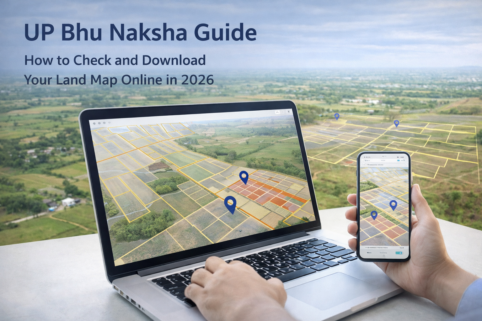
In common parlance, "Bhu Naksha" means "Land Map." In the administrative framework of Uttar Pradesh, it specifically refers to digitized cadastral maps that provide a spatial representation of land parcels.
Every piece of land in the state is identified by a unique Khasra number (or Gata number). While the "Bhulekh" portal gives you the textual Record of Rights (RoR)—the "who" of ownership—Bhu Naksha provides the "where" and "how." It allows you to visualize the exact shape, size, and orientation of a plot. When you access the portal, you aren't just reading a description; you are seeing a geo-referenced map that shows your plot’s relationship to neighboring properties, roads, and local water bodies.
The shift from physical maps kept in cloth bundles to high-resolution, GIS-based digital maps has created a much safer environment for real estate.
First, it is the most effective weapon against land fraud. Historically, scammers often misrepresented plot boundaries or sold the same land to multiple buyers. Now, a buyer can stand on a plot, open the UP Bhu Naksha portal on a smartphone, and immediately verify if the physical ground reality matches the official government record. Any discrepancy is an immediate red flag.
Second, the portal has revolutionized the banking and credit sector. To approve an agricultural loan or a home loan, banks require a verified map to assess the collateral. What used to take weeks of manual verification now happens in minutes. This speed is essential for farmers who need timely credit for seeds and equipment, as well as for urban buyers looking to secure competitive home loan rates.
Third, it provides an objective "single source of truth" for dispute resolution. Boundary overlaps and encroachments are common sources of litigation in India. The digital maps on the portal are based on precise satellite data and historical revenue surveys, providing a standardized reference that helps local authorities and courts resolve conflicts with scientific accuracy.
The government has prioritized ease of use, making the portal accessible even for those with limited technical expertise. The interface is available in both Hindi and English and is fully optimized for mobile devices.
To check your land map, follow this simple process:
upbhunaksha.gov.in. Always ensure you are using the official government domain to protect your personal information.A standout feature of the 2026 portal is the sophisticated use of color-coding to represent land usage. This is an invaluable tool for preventing accidental investment in restricted or government land.
The portal uses specific colors to differentiate categories:
By checking these layers, a buyer can ensure the land they are eyeing isn't a "Talab" (pond) on paper, which would make any future construction illegal and subject to demolition.
While Bhu Naksha gives you the map, you must always cross-verify this data with the UP Bhulekh portal. The "Khatauni" (Record of Rights) found on Bhulekh provides the most recent updates on ownership changes, active loans (encumbrances), and mutation status.
A savvy investor in 2026 always ensures the two records match. If the area on the map is smaller than the area listed in the Khatauni, it indicates a boundary issue that needs to be addressed at the Tehsil office before any money changes hands.
Even with high-end technology, legacy errors from old manual records can occasionally appear. If you find your plot boundaries are incorrect on the portal, there is a formal correction pathway:
Catching these errors early is essential for maintaining a clean, marketable title for your property.
The Uttar Pradesh government is currently moving toward a more advanced phase of land management. The goal is to assign a Unique Land Parcel Identification Number (ULPIN), or Bhu-Aadhar, to every plot.
This 14-digit ID will act as a digital fingerprint for your land, linking all spatial data, ownership history, and tax records into one secure profile. Combined with high-precision geo-referencing, this will make the UP real estate market one of the most transparent and technologically advanced in the world.
The UP Bhu Naksha portal is a landmark in citizen services. It has taken the power of information out of locked registers and placed it directly into the hands of the people.
Whether you are a farmer protecting your heritage or an urban investor exploring new frontiers, this portal is your most reliable ally. By staying informed, conducting regular digital audits of your property, and utilizing these government-verified tools, you can ensure that your investment remains secure and undisputed for the future. In the world of real estate, knowledge is the best insurance—and in Uttar Pradesh, that knowledge is now just a click away.
