Published On:
November 25, 2025
Updated On:
February 4, 2026
Land disputes are mainly caused by a lack of knowledge regarding the Khasra Number (plot ID), Khatauni (record of rights), and Bhu Naksha (land map). Citizens can access these records instantly via state Land Records websites, supporting the DILRMP. For boundary conflicts, the crucial legal solution is Land Demarcation (Hadbandi), a process initiated at the Tehsil Office and executed by the Patwari to officially measure and fix the plot boundaries.
For generations, the ownership of land in India was trapped inside the crumbling, dust-laden shelves of the local Tehsil office. The Basta (bag) of the Patwari was the ultimate repository of truth, and accessing a simple ownership document could take weeks of running around, bureaucratic hurdles, and often, under-the-table negotiations. However, a silent revolution has swept across the Indian administrative landscape. The Digital India Land Records Modernization Programme (DILRMP) has fundamentally changed how we view, verify, and transact real estate.
Today, terms like Khasra and Khatauni are no longer the exclusive jargon of revenue officials; they are digital assets accessible on your smartphone. Yet, despite the digitization, the physical reality of land management—disputes, boundary wars, and demarcation—remains a complex interplay between the digital record and the ground reality managed by the Patwari.
Whether you are a farmer in a village, an investor buying a plot on the Yamuna Expressway, or a homeowner in a Tier-2 city, understanding these four pillars—Khasra, Khatauni, Bhu Naksha, and Demarcation—is the only way to safeguard your asset. This blog serves as your in-house manual to decoding the revenue records and navigating the Tehsil machinery.
Before logging onto a portal or visiting the Tehsil, you must understand what you are looking for. In North and Central India, land records are defined by Persian-origin terminologies that have been in use since the Mughal and British eras.
Think of the Khasra number as the unique "Aadhaar Card" for a specific plot of land. It is a survey number assigned to a specific parcel.
If Khasra is the ID card of the plot, the Khatauni is the "Bank Statement" of the owner. It is an abstract of the register of all persons cultivating or otherwise occupying land in a village.
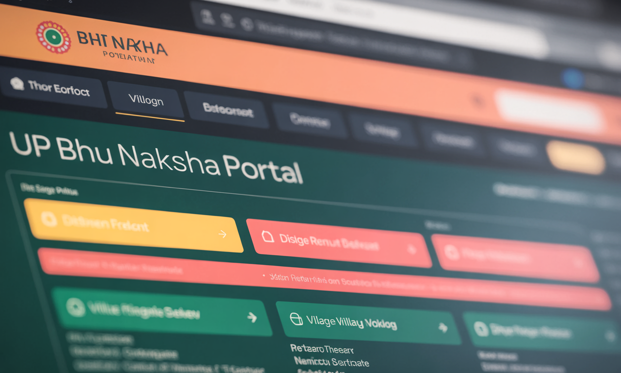
Records are just text; the Bhu Naksha is the visual verification. It is the digitized cadastral map of the village.
Almost every state in India now has a dedicated land record portal, commonly referred to as Bhulekh (Land-Writing). Whether it is UP Bhulekh, MP Bhulekh, or Jamabandi in Haryana, the process of checking records has been standardized.
The Search Process:To check your land status, you no longer need to file a Right to Information (RTI) application. You simply need:
What to Look For Online:When you pull up the digital Khatauni, look for the "Remarks" column (often labeled as Tippani). This is the most dangerous column for an investor. It lists mortgages, bank loans, court stays, or disputes. A clean Khatauni must have a blank Remarks section. If you see a bank's name there, it means the land is mortgaged, and the seller cannot transfer it to you without a No Objection Certificate (NOC).
While online records verify ownership, they do not verify possession. This is where the digital world meets the dusty ground. A common nightmare for landowners is discovering that while they own 500 square yards on paper, the neighbor has built a wall encroaching on 50 yards of it.
To resolve this, you need Demarcation, legally known as Patthar Nasab or Haddbandi. This is the official process of measuring the land and fixing the boundaries.
You cannot simply pull a tape measure and mark your land. You must apply to the local Tehsil or the Sub-Divisional Magistrate (SDM).
Once the application is processed, the Revenue Inspector (RI) or Kanungo issues a notice. This is a critical legal requirement. All owners of the adjacent lands (the neighbors) must be informed of the date and time of the measurement. This ensures transparency and prevents neighbors from claiming later that the measurement was done behind their backs.
On the scheduled day, the Patwari (village accountant) and the Revenue Inspector arrive at the site.
After the measurement, the Patwari drafts a report called the Panchnama. It states that the measurement was done in the presence of the applicant and neighbors, and clearly defines the dimensions. This report is signed by the officials and the witnesses. This document is your legal shield against future encroachment attempts.
Despite AI and drones, the Patwari (also known as Lekhpal in UP or Talathi in Maharashtra) remains the custodian of Indian land.
The Patwari’s Power:The Patwari is responsible for updating the Girdawari (crop survey) twice a year. If you own agricultural land but do not cultivate it, and someone else starts tilling it, the Patwari might record their name as the cultivator. Over time, this can lead to "adverse possession" claims. Therefore, maintaining a relationship with the local Patwari and ensuring they visit your land for the survey is essential.
The Tehsildar’s Court:If there is a dispute during demarcation—for instance, if a neighbor refuses to accept the Patwari’s measurement—the matter moves to the Tehsildar’s court. The Tehsildar acts as a quasi-judicial authority. They can order a re-survey by a higher-ranking official or issue orders to the police to provide protection while the boundary wall is being constructed.
Even with digitized records, fraud is rampant. Here is how to stay safe:
Many private websites look exactly like government portals. They charge money to show you records that are actually free on the official NIC-hosted websites. Always ensure the URL ends with .gov.in or .nic.in.
Sometimes, the Bhu Naksha (Map) shows a straight line, but on the ground, the boundary is curved due to a tree or an old drain. In such cases, the Map prevails over the Spot. You must clear the encroachment to match the map. Never accept "Spot Possession" if it differs from the map, as you will lose that land in any future legal battle.
Buying the land and registering the deed is only 50% of the work. You must apply for Mutation (Dakhil-Kharij) at the Tehsil. This process removes the seller's name from the Khatauni and enters yours. Until Mutation is complete, you are not the owner in the eyes of the government, and the seller can technically (and fraudulently) sell the land again.
The government is currently rolling out the SVAMITVA Scheme and ULPIN (Unique Land Parcel Identification Number).
Land is the most valuable asset class in India, but it is also the most vulnerable. The transition from the opaque Basta system to the transparent Bhulekh system has empowered the common citizen, but it has not eliminated the need for vigilance.
Understanding the difference between a Khasra and a Khatauni, knowing how to read a Bhu Naksha, and being aware of the rightful demarcation process are not just administrative details—they are the armor that protects your legacy. Whether you are dealing with a Patwari in a remote village or checking records on a high-speed connection in a metro, knowledge is your only true title deed.
The next time you look at a piece of land, don't just look at the view; look at the record. The truth is rarely on the ground; it is always in the file.
