Published On:
April 14, 2026
Updated On:
April 14, 2026
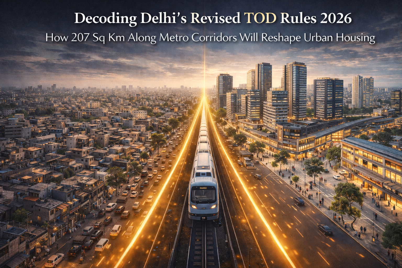
The central government’s newly notified Transit-Oriented Development (TOD) 2026 rules unlock 207 sq km of land along Delhi's metro and regional transit corridors for high-density, mixed-use housing. By drastically reducing the minimum plot size to 2,000 sqm, permitting a Floor Area Ratio (FAR) of up to 500, and enforcing a single-window clearance system, the policy aims to flood the market with affordable, transit-linked homes while reducing urban congestion.
For decades, the real estate narrative in the National Capital Region has been defined by horizontal sprawl. As land within Delhi's borders became scarce, heavily fragmented, and tied up in complex zoning restrictions, the bulk of new residential and commercial development was pushed outward into neighboring satellite cities. However, the urban planning framework within the capital is undergoing a massive, structural pivot. The central government has officially notified the revised Transit-Oriented Development (TOD) Regulations and Charges for 2026, introducing a highly aggressive strategy to promote compact, vertical growth directly alongside existing public transport networks.
This is not a minor policy tweak. The revised framework fundamentally rewrites the rules of land utilization in the city, immediately opening up 207 square kilometers of prime urban space for high-density construction. By aligning real estate development with the massive footprint of the metro and the upcoming Regional Rapid Transit System (RRTS), the authorities are attempting to solve two of the city’s most chronic issues simultaneously: a severe shortage of affordable housing and crippling vehicular congestion. For landowners, developers, and potential homebuyers, understanding the specific mechanics of these new regulations is critical, as they will dictate the flow of capital and construction in the city for the next decade.
To understand the scale of this policy, one must look at the geographic area it activates. The TOD zone is defined as the area falling within a 500-meter radius on either side of operational and proposed metro corridors, RRTS lines, and major railway stations. This creates a massive, continuous belt of high-potential real estate stretching across the city.
What makes the 2026 notification particularly powerful is the inclusion of previously restricted zones. Out of the total 207 sq km earmarked under this policy, approximately 80 sq km consists of areas that were explicitly excluded from older transit development frameworks. This includes designated land pooling zones, low-density residential areas, and numerous unauthorized colonies that meet specific road-width criteria.
Historically, these 80 sq km represented dead capital. Landowners in these pockets were unable to secure permissions for large-scale, formalized construction due to conflicting zoning laws. By bringing these specific areas under the overarching TOD umbrella, the government has essentially fast-tracked them for formalized urban regeneration. It transforms underutilized, low-rise neighborhoods adjacent to modern transit hubs into highly lucrative development sites.
Perhaps the biggest reason previous attempts at transit-oriented development failed in the capital was the unrealistic barrier to entry regarding land size. Under the older regulations, a developer was required to consolidate a minimum plot area of one full hectare (10,000 square meters) to qualify for TOD benefits. In a dense, heavily built-up city where land ownership is intensely fragmented, acquiring 10,000 square meters of contiguous land with clear titles was nearly impossible. Consequently, only a handful of isolated projects managed to get off the ground.
The 2026 regulations address this bottleneck directly by slashing the minimum plot size requirement down to just 2,000 square meters. The only major geographic stipulation is that the plot must be situated on a road that is at least 18 meters wide.
This reduction is a massive catalyst for the industry. It empowers mid-tier developers and cooperative group housing societies to participate in the urban redevelopment process. Landowners holding adjacent smaller plots can now easily form consortiums to hit the 2,000 sqm threshold, pool their resources, and apply for high-density construction permits. This pragmatic shift guarantees that redevelopment will not just be the domain of massive institutional builders, but a widespread, hyper-local activity happening simultaneously across multiple metro corridors.
At the core of any high-density policy is the Floor Area Ratio (FAR), the formula that determines exactly how much built-up area can be constructed on a given piece of land. To make transit-adjacent development financially viable and to accommodate a massive influx of residents, the revised rules have pushed the permissible FAR to unprecedented levels.
Eligible plots under the new system are granted a base FAR of 400. However, developers have the provision to extend this FAR up to a maximum of 500 upon the payment of additional, standardized charges. In practical terms, an FAR of 500 allows a builder to construct a total floor space that is five times the size of the plot itself.
When you combine a 2,000 sqm plot with an FAR of 500, the result is vertical, high-rise construction. This ends the era of sprawling, low-rise plotted developments near transit hubs. Instead, the focus shifts entirely to multi-story apartment complexes and commercial towers that maximize the utility of every square inch of expensive urban land.
While the policy offers immense financial incentives through high FAR, it strictly regulates what can actually be built. The government’s primary objective is not to facilitate luxury penthouses, but to generate a massive inventory of housing for the middle and lower-middle-income demographics who rely most heavily on public transport.
To enforce this, the policy mandates a highly specific mixed-use ratio for the total built-up area:
The 65% Residential Core: A strict minimum of 65% of the total permissible FAR must be dedicated exclusively to residential units that are capped at around 100 square meters in size. By legally restricting the size of the majority of the apartments, the policy forces developers to build compact, affordable 2 BHK and 3 BHK homes rather than expansive luxury floors.
The 10% Commercial Necessity: At least 10% of the built-up area must be reserved for commercial and community facilities. This ensures that the newly created high-density clusters are self-sufficient. Residents will have immediate access to grocery stores, pharmacies, local clinics, and daily amenities within their own building complex, reducing the need to travel for basic errands.
The 25% Flexible Zone: The remaining 25% of the FAR is left to the developer’s discretion. This space can be utilized to improve project profitability by constructing larger premium residential units, corporate office spaces, studio apartments, or guest houses.
This integrated living model ensures that neighborhoods remain active throughout the day, blending residential life with commercial utility right at the doorstep of the metro station.
The real estate sector has long been plagued by the slow, fragmented nature of municipal approvals. Previously, initiating a large-scale project required running a gauntlet of different government departments. A developer had to secure separate approvals and pay isolated fees for land-use conversion, additional FAR charges, water and sewer connections, and local municipal sanctions.
The 2026 regulations dismantle this obsolete system in favor of aggressive ease of doing business. The concept of applying for a specific "change of land use" for eligible TOD plots has been entirely scrapped. Furthermore, all scattered departmental fees have been consolidated into a single, uniform TOD charge fixed at Rs 10,000 per square meter, regardless of the plot’s specific locality.
To process these applications, a dedicated committee headed by the central development authority has been established. Developers now submit their proposals through a single-window online system. The most critical aspect of this administrative overhaul is the introduction of a strict 60-day timeline. If the committee fails to process the application within 60 days, the project is deemed approved. This level of predictability allows developers to lock in capital and begin construction without the fear of multi-year administrative delays eating into their profit margins.
A valid concern regarding high-density development is the intense pressure it places on existing civic infrastructure. Pumping thousands of new residents into a specific metro corridor requires parallel upgrades to local water supplies, sewage treatment, and electricity grids.
To prevent systemic collapse, the revised rules mandate a highly transparent financial mechanism. The funds collected through the unified TOD charges and the additional FAR fees will not be absorbed into a general state treasury. Instead, they will be deposited directly into a ring-fenced escrow account.
The capital in this dedicated fund is legally restricted for use only within the specific locality where the money was generated. This ensures that the heavy fees paid by developers directly translate into thicker water pipes, higher-capacity electrical substations, and improved local drainage systems for the exact neighborhoods absorbing the new density.
Transit-oriented development fails if residents still need a car or an auto-rickshaw to cover the "last mile" between their high-rise apartment and the metro station. The entire purpose of the policy is to encourage a public-transport-first lifestyle.
To achieve this, the new regulations heavily incentivize, and in some cases mandate, the construction of dedicated pedestrian infrastructure. Developers are encouraged to build direct, elevated skywalks or underground subways connecting their private residential complexes directly to the concourse of the nearby metro or RRTS station.
By removing the pedestrian from the chaotic surface-level traffic, the policy aims to create a seamless, climate-protected walking experience. When a commuter can step out of their apartment, walk down a dedicated corridor, and board a train without ever interacting with street-level vehicular traffic, the dependency on private cars drops exponentially. This structural shift is critical for achieving the city's long-term carbon reduction and air quality goals.
The implementation of the 2026 TOD rules will trigger a substantial realignment of property values and investment strategies across the National Capital Region. For years, investors seeking large-scale residential growth turned their attention to the expressway-linked sectors of Noida, Greater Noida, and Gurugram.
This policy actively pulls institutional capital back into the borders of Delhi. Land parcels situated within the 500-meter transit radius, especially those in newly included unauthorized colonies and land pooling zones, will experience a massive surge in valuation. The ability to build up to 500 FAR turns a modest plot into a high-yield vertical asset.
However, the mandatory 65% allocation for smaller, affordable units will serve as a stabilizing force on end-user pricing. By artificially enforcing a high supply of 100 sqm apartments in prime, transit-connected locations, the government is ensuring that the middle-class demographic is not priced out of the capital.
Ultimately, the revised Transit-Oriented Development rules represent the most pragmatic approach to urban planning the city has seen in a generation. By trading outdated restrictions for vertical density, and fragmented bureaucracy for streamlined approvals, the framework guarantees that future urban growth will be compact, connected, and highly efficient. As these transit-linked high-rises begin to alter the skyline, they will firmly establish a new standard for urban living, proving that strategic density is the only viable solution for a rapidly expanding metropolis.
